|
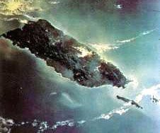
Above photo of Puerto Rico shows Vieques Island in the lower right and Culebra Island on the extreme right.
Map of the Geology of Puerto Rico. Opens in a new window, please close window to return here.
Aerial photo of the Arecibo Observatory. Opens in a new window, please close window to return here.
Photo below shows Mona Passage with Mona Island in the middle, between Puerto Rico ( right) and the Dominican Republic on the left.
|